The Chattahoochee Is Becoming North Atlanta’s Longest Park
The Chattahoochee RiverLands project aims to connect existing parks along the river in North Atlanta, creating a continuous greenway of trails and public spaces.
Get major local stories and development updates.
Photos: Courtesy of Chattahoochee RiverLands project
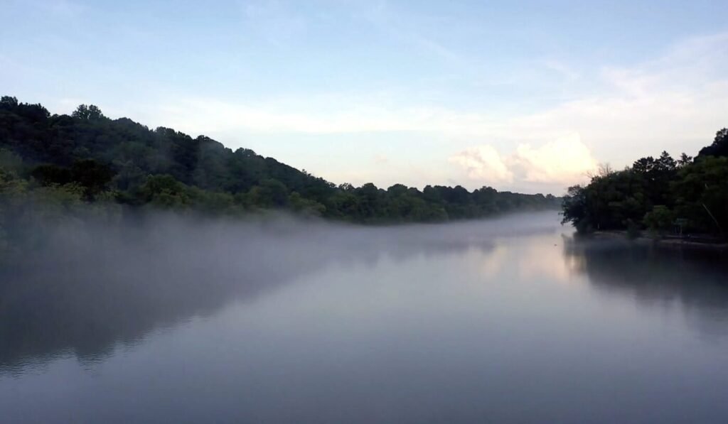
For many North Atlanta residents, the Chattahoochee River is familiar but strangely hidden. It passes behind subdivisions, beneath busy bridges and along the edges of parks that often feel disconnected from one another. We cross it on the way from Johns Creek to Duluth, glimpse it near Peachtree Corners or follow its general direction through Sugar Hill, yet rarely experience it as one continuous place.
The Chattahoochee RiverLands project is trying to change that.
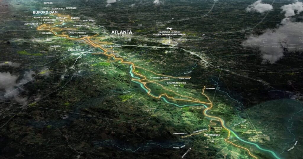
The long-term vision would create approximately 100 miles of parks, trails and public spaces following the river from Buford Dam to Chattahoochee Bend State Park southwest of Newnan. It is planned to connect 19 cities across seven counties, with dozens of river-access points, tributary trails and campsites along the way.
That description can make RiverLands sound like a finished attraction, perhaps an aquatic version of the Atlanta BeltLine. It is not. RiverLands is currently a collection of existing parks, completed improvements, planned trails and large stretches that still require design work, land agreements, government approvals and construction money.
In North Atlanta, however, some of its most important pieces are already visible.
A National Park Running Through the Suburbs
The northern Chattahoochee did not suddenly become public land with the creation of RiverLands. Much of it has been protected for nearly half a century.
The Chattahoochee River National Recreation Area was established in 1978 and covers a 48-mile corridor from below Buford Dam to Peachtree Creek in northwest Atlanta. Managed by the National Park Service, it includes more than 6,000 acres divided among 15 park units.
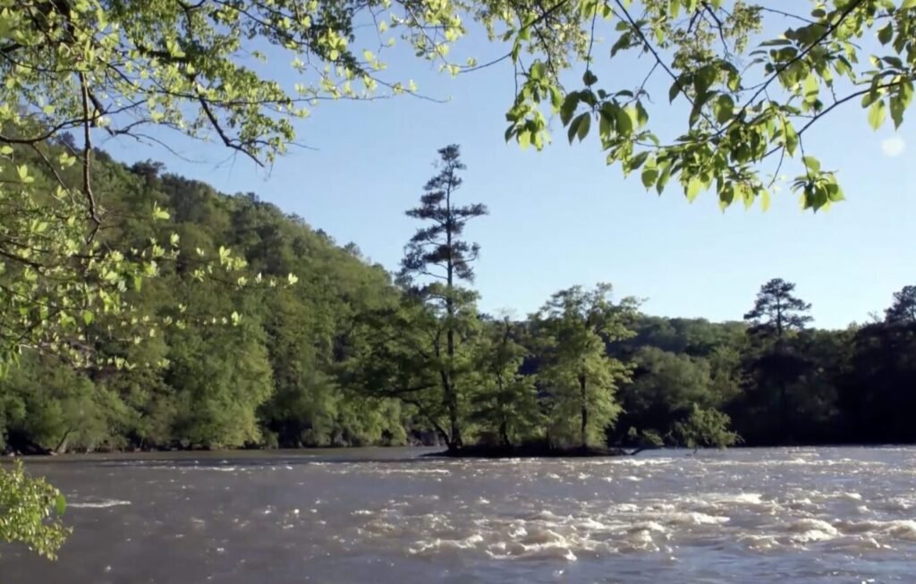
Several of those units form a familiar North Atlanta sequence: Settles Bridge, McGinnis Ferry, Abbotts Bridge, Medlock Bridge and Jones Bridge. They provide places to walk, fish, paddle or simply sit near the water, but they were not designed as one uninterrupted trail system.
That fragmentation is the problem RiverLands is attempting to solve. The river may be continuous, but the public experience of it is not. A visitor can find a boat ramp at one location, a woodland trail at another and a city park farther downstream, yet moving between them without returning to the car is often difficult or impossible.
The transformation, then, is not just about building more parks. It is about connecting the parks North Atlanta already has.
Johns Creek Is Building Its Section
Cauley Creek Park offers one of the clearest examples of what that connected future could look like.
The 203-acre Johns Creek park opened in 2023 with athletic fields, courts, playgrounds, river overlooks and a 3.1-mile rubberized loop trail. At its eastern edge, a reconstructed pedestrian version of Rogers Bridge crosses the Chattahoochee into Duluth, allowing people to walk or bike between Fulton and Gwinnett counties without joining the traffic on a major road.
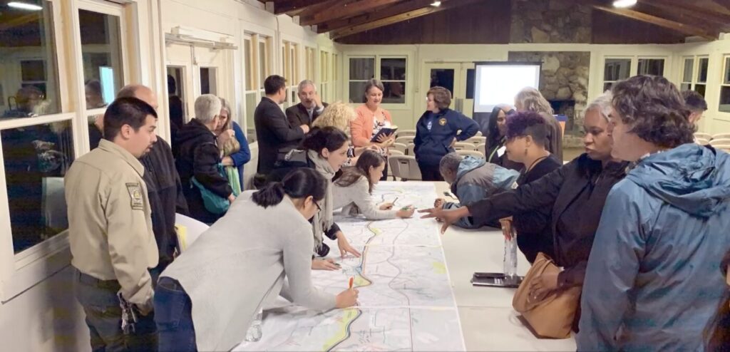
The city’s next challenge is extending that connection along the river.
The first planned phase of the Johns Creek Chattahoochee Greenway would create a 1.1-mile multiuse path between Abbotts Bridge Road and the trail at Cauley Creek Park. Much of the route would follow an existing sanitary sewer easement across National Park Service property. The project remains in design and must pass federal and state approval processes before construction can begin.
A second phase would continue from Cauley Creek toward McGinnis Ferry Road. Johns Creek currently anticipates beginning right-of-way acquisition for that section in fall 2027.
Once those pieces are completed, someone could eventually travel along the river from Abbotts Bridge through Cauley Creek, cross Rogers Bridge into Duluth and continue into other sections of the regional trail network. Today, that remains a plan rather than a seamless outing, but the outline is no longer difficult to see.
Sugar Hill Plans a Northern Gateway
Farther upstream, Sugar Hill controls approximately 160 acres north and south of Cumming Highway near the Chattahoochee. Its Riverlands Master Plan reserves about 90 percent of the property for recreation and greenspace, with the remainder available for limited retail, restaurants, hospitality or office development.
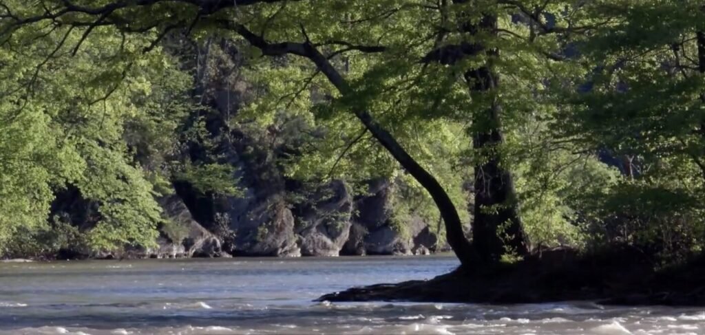
The location could become one of the northern gateways to the larger RiverLands system. The city’s concept combines trails and river access with enough commercial activity to support visitors without turning the property into another conventional shopping center.
Progress is still incremental. In June 2026, Sugar Hill officials reported work on a new Orr’s Ferry trail on the southern Riverlands property, but said it was not yet open to the public.
That detail captures the RiverLands project as it currently exists. The large vision is easy to describe. The practical work arrives one trail, bridge, land purchase and access point at a time.
The River’s Recovery Is Not One Simple Story
The Chattahoochee’s revival is often told as the story of a polluted river brought back to life. That is especially true downstream of Atlanta, where sewage overflows and industrial pollution made long sections of the river deeply uninviting for much of the 20th century.
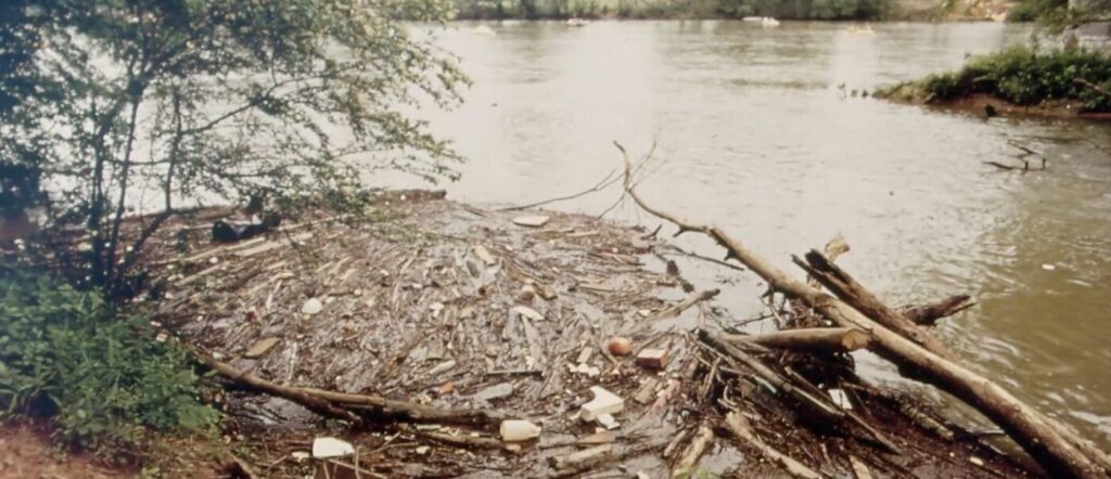
A 1995 lawsuit by Chattahoochee Riverkeeper helped push Atlanta into a multibillion-dollar sewer overhaul. Water quality below the city improved dramatically, making new parks, launches and camping routes possible where recreation once seemed unrealistic.
North Atlanta’s section followed a somewhat different history. The federal recreation area had already protected the corridor from Buford Dam to Peachtree Creek. Here, the central challenge is not introducing the public to a river that disappeared beneath sewage. It is making an existing national park easier to enter, understand and move through.
Cleaner also does not mean consistently clean under every condition. Bacteria can rise after storms as runoff enters the river and its tributaries. The federal BacteriALERT program monitors E. coli at three stations, including Medlock Bridge near Peachtree Corners, and provides estimated risk levels for people considering water recreation.
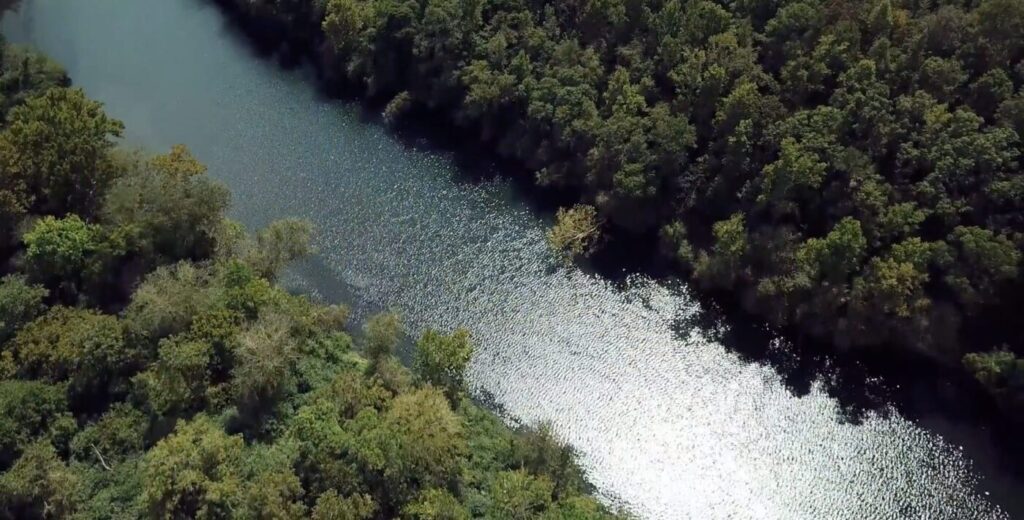
That makes the Chattahoochee more like any serious outdoor environment than a controlled swimming pool. Conditions change. Visitors need to check water levels, dam releases, weather and current advisories before entering.
A Different Kind of North Atlanta Development
The completed system would not belong to Johns Creek, Sugar Hill, Duluth, Roswell or Atlanta alone. It would link places that usually plan parks independently, using the river as the common route.
That cooperation will also make the project slow. Each section has different landowners, budgets, environmental rules and construction schedules. Some portions cross federal property. Others depend on city land, county partnerships or private acquisition. There will be no single ribbon cutting announcing that all 100 miles are finished.
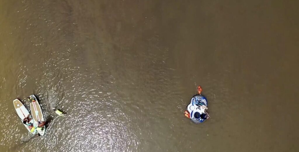
Instead, residents will notice smaller changes.
The Chattahoochee has always been one of North Atlanta’s defining natural features. The larger change is that it may finally begin to feel less like the boundary behind our neighborhoods and more like the long public park running through them.
Here are a few more stories that capture daily life around here.
About the Author


In North Atlanta

What North Atlanta Should Know Today, Tuesday, Sept. 1, 2026

Johns Creek Native to Lead Medley’s Concierge Team Ahead of October Opening
Johns Creek’s New Boardwalk Earns a State Award Before Its First Fall Season
North Atlanta Added 11,000 Residents, but the Growth Is Concentrated in Three Cities
North Atlanta’s Commute Divide Adds Up to 61 Hours a Year

Dervish Plans 200-Seat Turkish Restaurant in Johns Creek
IN NORTH ATLANTA