Lake Lanier Falls More Than Eight Feet Below Full Pool as Drought Operations Begin
Lake Lanier is more than eight feet below full pool as drought operations begin. Here is what is driving the decline and where to check lake access.
Major local stories and useful updates, once a week.
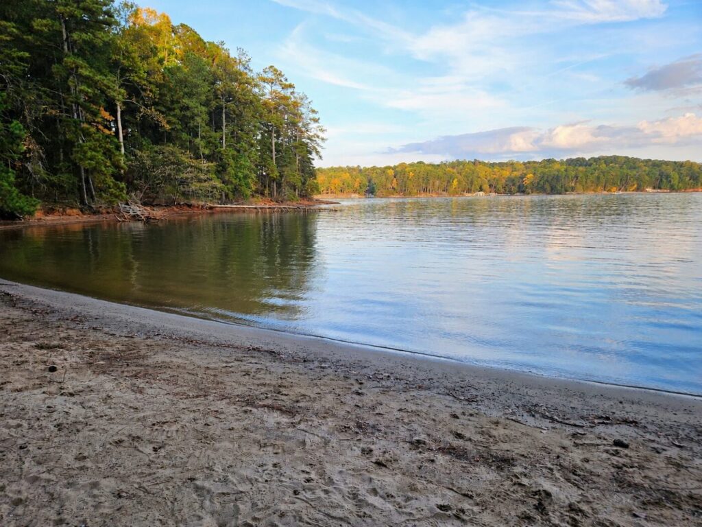
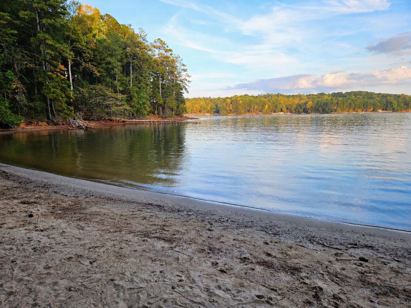
Lake Lanier is more than eight feet below its full-pool benchmark as federal drought operations begin, putting the lake’s falling water level back in focus for shoreline residents and boaters.
The U.S. Army Corps of Engineers began drought operations Monday, Nov. 2, as Lanier reached its lowest level since January 2017, Forsyth County News reported.
A Wednesday morning reading put the lake at 1,062.57 feet above sea level at 6:15 a.m., or 8.43 feet below the 1,071-foot full-pool benchmark. That is a dated measurement, rather than a live reading; the level changes as water enters and leaves the reservoir.
Why the lake keeps falling
The Lake Lanier Association’s fall assessment traced the decline to a prolonged rainfall shortfall and weak inflows, while releases continued to meet downstream water needs. Occasional wet months helped, but did not erase the accumulated deficit.
Clyde Morris, the association’s vice president and secretary, calculated that Gainesville received about 19.3 inches less rain than normal over the 25 months ending in August. He cautioned that there is no single lake elevation at which the Corps simply begins refilling Lanier.
Drought operations depend on storage across the Apalachicola-Chattahoochee-Flint basin, which includes Lanier, West Point and Walter F. George reservoirs. The federal drought dashboard explains that entry into conservation-storage Zone 3 triggers drought contingency operations and reduced hydropower support.
Changing the operating rules cannot replace missing rainfall. Recovery still depends on enough water flowing into the basin while downstream needs are met.
Check access before heading to the lake
Boaters can check individual Corps-managed recreation areas through the Corps recreation-status directory. Its Nov. 3 update identifies Belton Bridge’s boat ramp as closed. The directory does not give a cause for that closure, so it should not be assumed to result from this week’s drought operations.
The directory covers Corps-managed facilities. For a private marina or a park operated by another organization, check directly with that operator before traveling. The Corps also publishes lake-elevation data and forecasts for people following the reservoir’s next changes.
Community Voice
A snapshot of reader views, not a scientific survey.
Explore Community Voice →About the Author

In North Atlanta
Milton Is Reconsidering How Every Home’s Trash Gets Collected
Georgia’s Turtle Season Is Underway, From Sawnee Mountain to the Barrier Islands
Milton Asks What It Will Take to Keep Its Horse Farms and Large Lots

North Atlanta’s Environmental Story Is Still Being Written in Its Rivers and Forests

Why Forsyth County’s Tap Water Can Taste Earthy in Fall
12 Great Places to Cool Off Around North Atlanta This Summer
IN NORTH ATLANTA