 Exclusive sponsor
Flood Watch Issued Across North Atlanta as Heavy Rain Targets Evening and Overnight Commute
A flood watch is in effect across North Atlanta from Wednesday afternoon through Thursday morning. Heavy rain and thunderstorms could lead to flooding and slow commutes, especially near Georgia State Route 400 and surrounding neighborhoods.
Major local stories and useful updates, once a week.
Drivers across North Fulton, South Forsyth, and nearby parts of metro Atlanta may face a slow and waterlogged commute tonight as a flood watch takes effect Wednesday afternoon through Thursday morning.
The National Weather Service says widespread thunderstorms are expected to move into North Georgia beginning later Wednesday, with the heaviest rain likely overnight into early Thursday. Communities including Alpharetta, Johns Creek, Roswell, Milton and parts of south Cumming could see periods of intense rainfall capable of quickly overwhelming roads and drainage systems.
The flood watch officially runs from 4 p.m. Wednesday until 8 a.m. Thursday. Forecasters say most areas of North Georgia could receive between 1.5 and 2 inches of rain, though isolated spots may see more than 4 inches in a relatively short period.
North Fulton and nearby western and northern metro counties are considered among the areas with the highest flood concern during this system. Urban roads, low-lying intersections, creek-adjacent streets, and poorly drained areas could become difficult to navigate during heavier downpours.
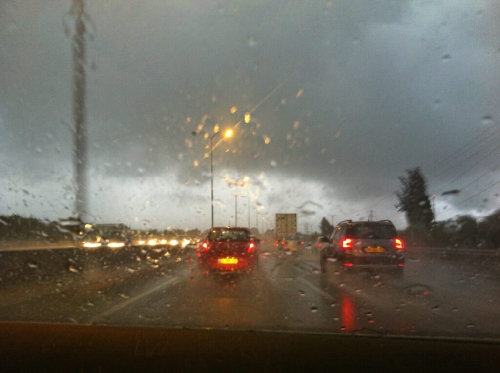
Traffic conditions are expected to deteriorate significantly during the late evening and early Thursday morning commute. Drivers along the Georgia State Route 400 corridor may encounter standing water, reduced visibility, and slower-than-normal travel speeds, especially near common bottlenecks around Exit 10 through Exit 14. Surface roads in older commercial areas and heavily developed corridors may also experience temporary ponding.
The weather pattern arrives after months of drought conditions across Georgia. According to the Weather Service, hardened dry ground can sometimes increase runoff during sudden heavy rain events because the soil absorbs water less efficiently at first.
Atlanta-area radar Official National Weather Service radar from KFFC. Open the full radar view.Where rain is moving now

Temperatures are expected to stay relatively mild despite the storm system. Evening temperatures across North Atlanta suburbs will likely remain in the upper 60s to low 70s before cooling into the low-to-mid 60s overnight. Thursday morning should remain cloudy and damp before conditions gradually improve later in the day.
Officials continue urging motorists not to drive through flooded roadways, particularly at night when water depth can be difficult to judge.
If this story caught your attention, here are a few more local reads worth your time.
Community Voice
A snapshot of reader views, not a scientific survey.
Explore Community Voice →About the Author


In North Atlanta
When Do You Have to Stop for a School Bus in Georgia? The Rule North Atlanta Drivers Should Know
Who Fixes North Atlanta’s Potholes? It Depends on Who Owns the Road

North Atlanta Residents May Want to Rethink Driving During the 2026 World Cup

Overnight Lane Closures Begin on Peachtree Parkway in Peachtree Corners
GA 400 Construction Brings Overnight Lane Closures to Roswell and Alpharetta

McGinnis Ferry Work Reaches Christopher Robin Road, With Spring 2028 Still the Target
IN NORTH ATLANTA